blah blah blah
Derry Hill
Length: 2.0 mile loopDifficulty (click for info): Beginner
Elevation Gain: 200 feet
Rating (click for info): 4/10
Elevation: 1669' (true summit), 1588' (High Blue), and 1620' (east viewpoint)
Prominence: 494'
Driving Directions:
Trailhead and parking area are on Scovill Road in Walpole, NH. From the junction of Rt. 12 and Rt. 12A in Keene, go north on Rt. 12A for 0.8 miles to a traffic circle. Take the third exit (turn left) onto Old Walpole Road. Drive 5.8 miles on Old Walpole Road, then turn right onto Crehore Road. In 0.2 miles, turn left onto Merriam Road. Continue 0.4 miles, then turn right onto Scovill Road. Drive 0.4 miles to an unmarked four-way intersection and pull into a small parking area next to the road on the left. Click here for a Google map.
About the Hike:
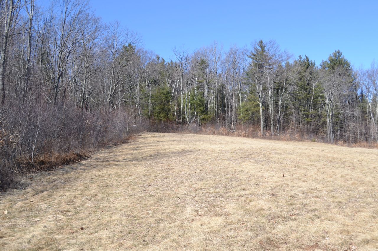
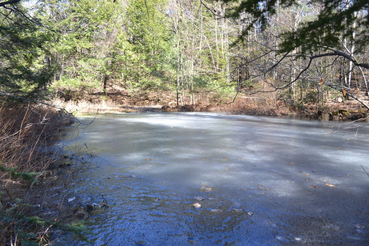
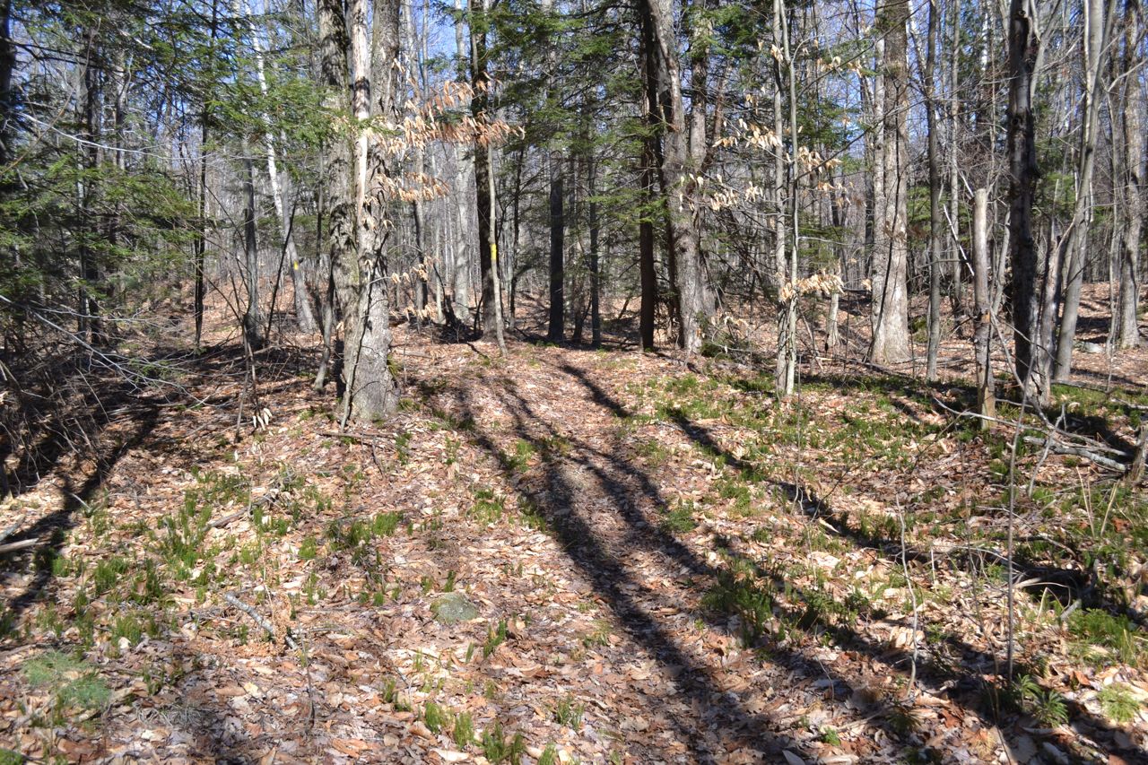
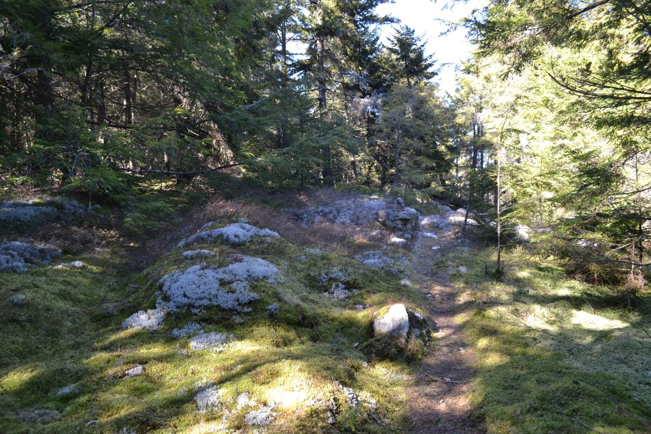
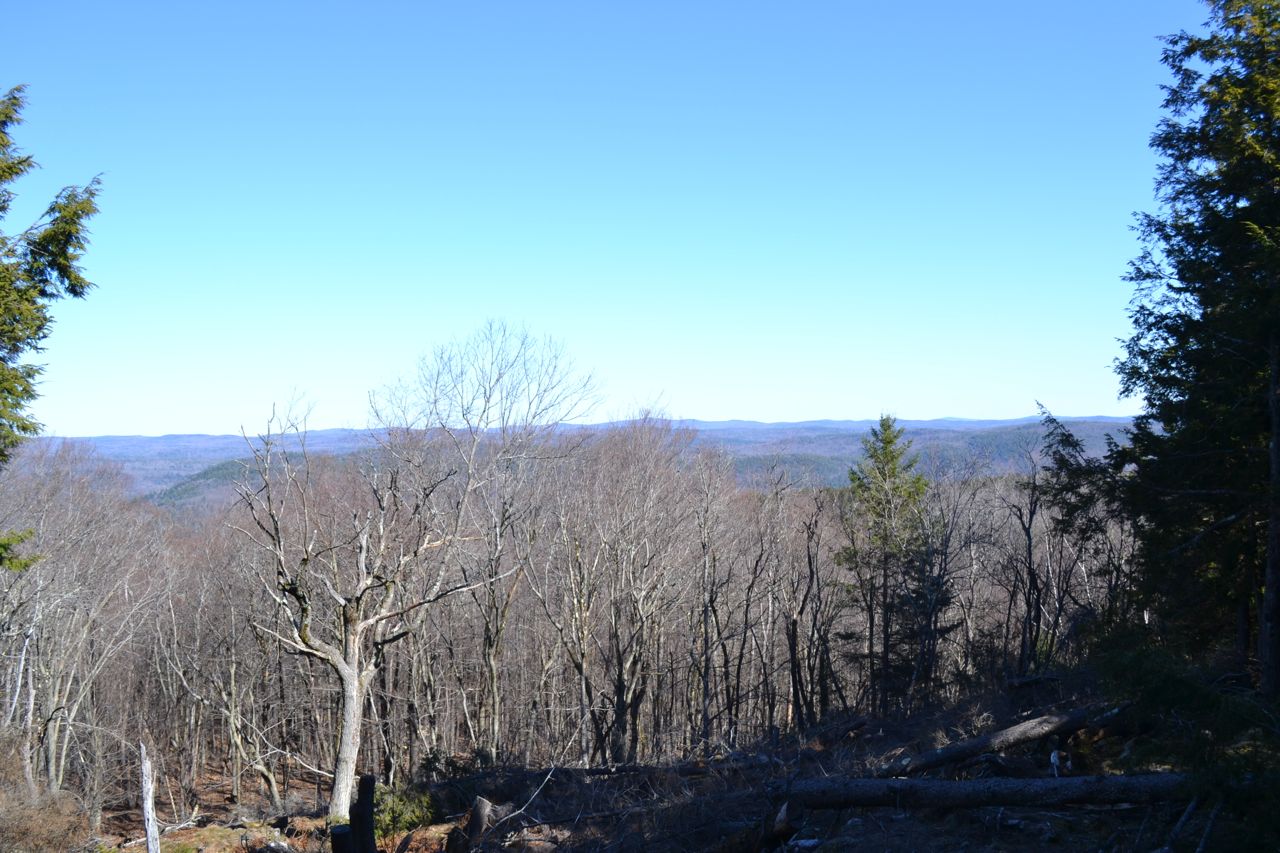
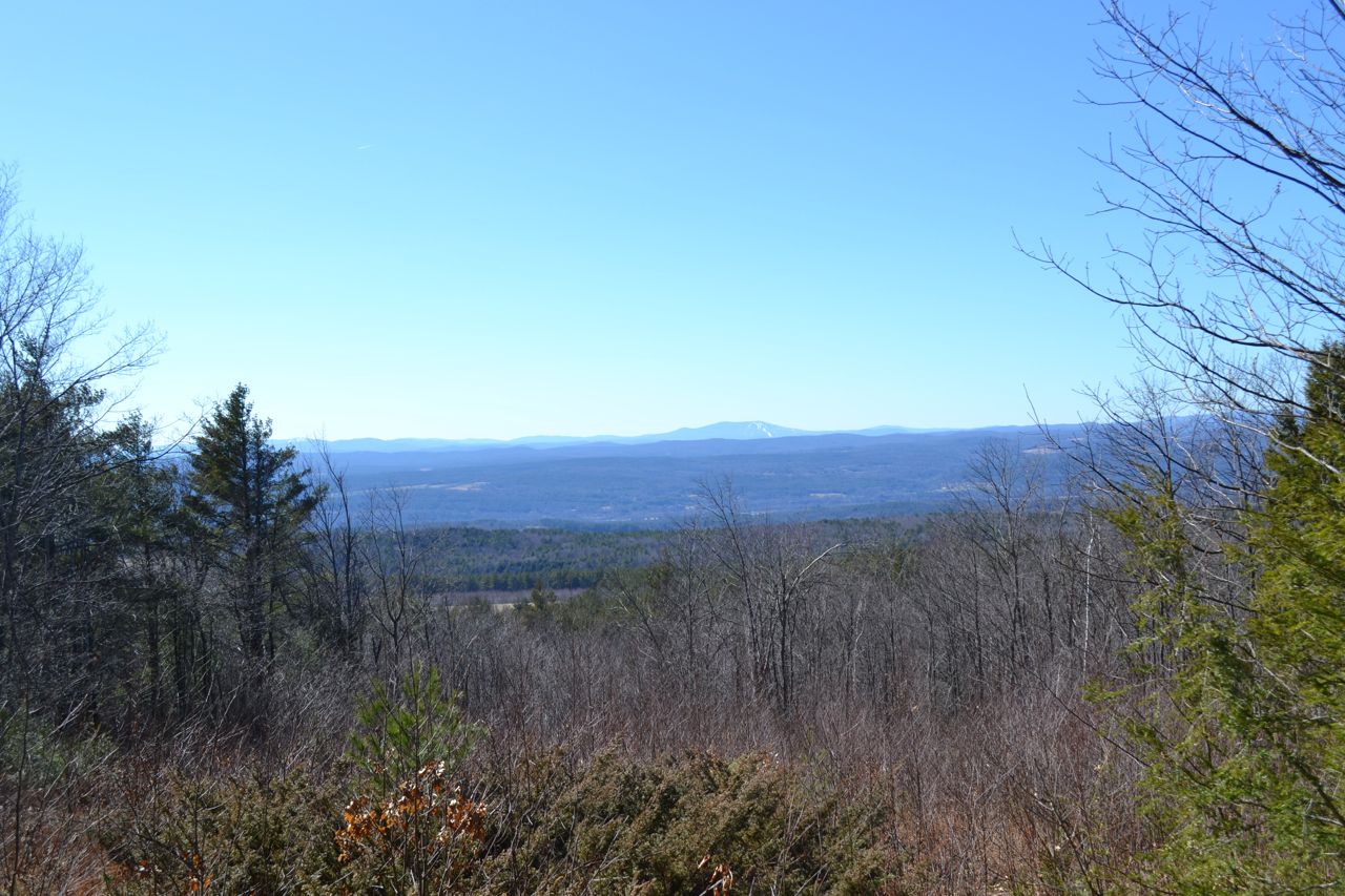
This easy loop will bring you to two limited viewpoints in the Forest Society's High Blue Reservation. Start walking down the rough dirt road you parked next to (a left turn at the intersection). A short descent leads past a wetland area and to the trailhead for the Vista Loop in 0.2 miles. The trail climbs very gradually, soon crossing a field with a view of Mt. Monadnock. It re-enters the woods past a gate at the top of the field and flattens out. The trail passes a very small pond, then arrives at the High Blue viewpoint, marked with a sign. A bench sits at the top of a cleared area with a view of Stratton Mountain in Vermont. From here, the trail meanders through the woods, eventually ending at the dirt road. Turn left and walk on the road until you see a sign for Falkner Loop Trail on the right. This mossy and rocky path passes a very limited view to the east with another bench, about 35 feet below the summit of Derry Hill, then returns to the dirt road.
Printable directions page